


PONOKA -- The Alberta Government says flood mapping will take place in Ponoka within the next two years.
This will come as part of nearly 600 kilometres of draft flood mapping for various Alberta communities in 2026 and 2027. According to the province, the goal is to complete more than 3,000 kilometres of updated flood mapping by 2028.
"We've seen firsthand that floods can destroy homes, damage businesses and devastate communities," said Rebecca Schulz, Minister of Environment and Protected Areas. "Which is why we're completing flood maps at a record pace to help communities plan better and keep Albertans safe."
Minister Schulz says that since 2020, more than 1,850 kilometres of flood maps have been completed across Alberta. This comes as over the past year, 46 kilometres of the Red Deer River and 33 kilometres of the Medicine River had flood mapping completed. Ponoka, along with Lacombe, and many other Central Alberta communities, will see their mapping take place within the next two years.
"Alberta Municipalities has long advocated for expanded flood mapping across Alberta to ensure municipalities have access to accurate, up-to-date data," said Dana Mackie, CEO of Alberta Municipalities. "Reliable flood information not only strengthens community safety and resilience but also supports fairer insurance rates for our municipalities."
The goal of flood mapping is to direct local emergency response plans and guide future Indigenous community and municipal development decisions. These maps identify where water will flow during a flood and what land could be flooded during different sized floods.
More than 80 per cent of municipalities covered by provincial flood mapping reference them in local land use bylaws.
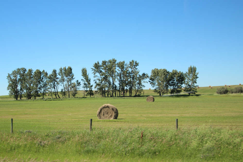 Alberta farmland continues to rise in value
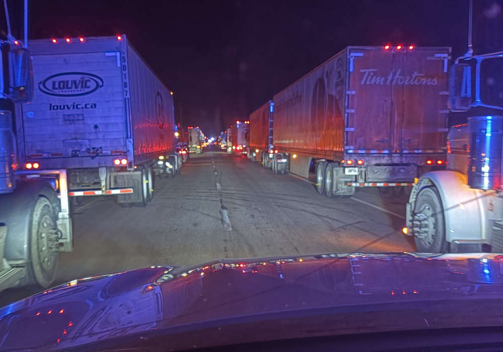 QE II near Maskwacis reopens following semi rollover
 Ponoka Pride Society announces dissolution
 RCMP provide update on recent police incidents
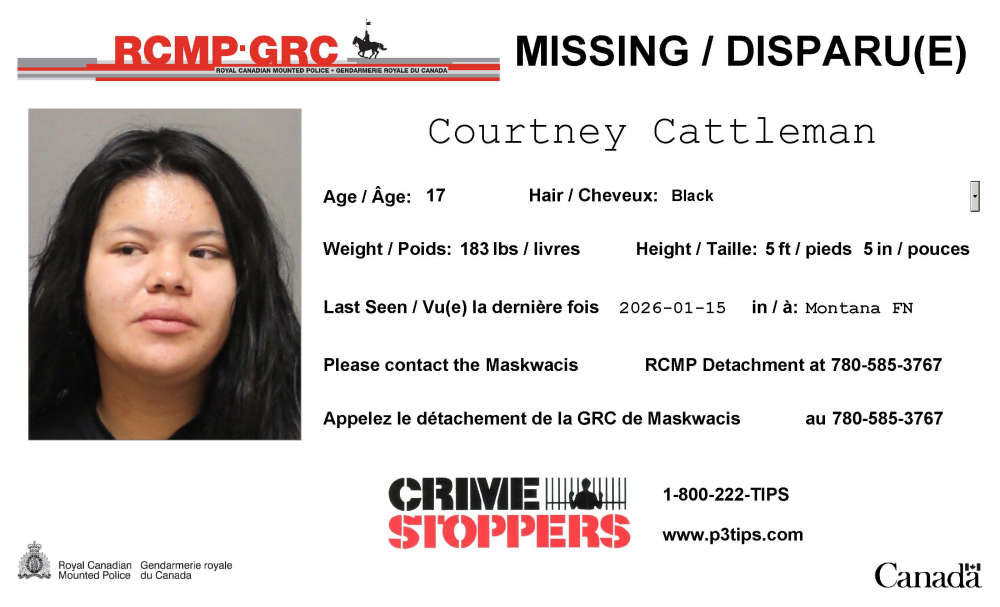 Missing Persons Report - Courtney Cattleman